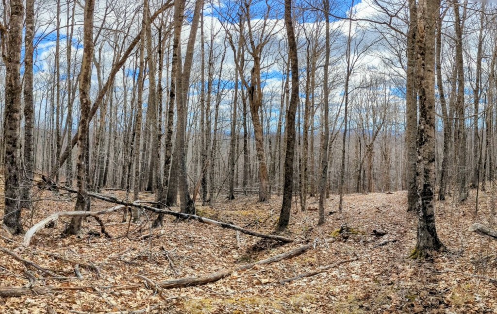

Thurlow Hill Trails is a new trail system on a large parcel of town-owned land in hilly northern Monroe. The parcel includes hardwood and softwood forests and extensive wildlife habitat. The trails are suited for hiking, mountain biking, cross-country skiing, and snowshoeing, depending on the season. This parcel also includes discontinued town roads, including portions of Thurlow Road, Town Farm Road, and Chase Bog Road, as well as several old woods roads.
Natural features of this area include Thurlow Hill, which at 700 feet is one of the highest points in Monroe. Lily Pond, a wild 27-acre pond, is near the eastern boundary. Chase Bog, an extensive bog that flows into Chase Stream, is to the north.
Driving directions
From the village of Monroe, drive approximately 2 miles north on the Jackson Road, then turn right on the Thurlow Road (privately maintained dirt road) and continue uphill for approximately 1 mile. At the top of the hill, the road narrows. Continue another few hundred yards. You will travel downhill and see a small parking lot with a sign “Parking for Thurlow Hill Trails” on the left.
Coordinates for the parking area are 44°38’53.4″N 69°03’07.8″W. The parking area can be viewed on Google Maps at https://maps.app.goo.gl/VL7ZPJPHWFBJ44oW6, but please note, Google Maps does not provide accurate directions for reaching that spot.
Please respect landowner wishes and do not use the road in the spring (when deep mud is a hazard) and do not park anywhere but in the parking lot. Note: Thurlow Road is recommended only for four-wheel drive vehicles with adequate clearance.
Thurlow Hill Trails can also be accessed via the eastern portion of Town Farm Road (discontinued town road), which is off the Dahlia Farm Road. Town Farm Road is not maintained for vehicle traffic and vehicle traffic is not recommended.
Those visiting the trail system by bike may want to park along Jackson Road or Dahlia Farm Road and ride in from there.
Trail Maps
The trail system can be viewed using the Trailforks app. We recommend downloading the free app prior to your visit. The Trailforks app assists with navigation and allows you to track your position in real time. Thurlow Hill Tails can be viewed on Trailforks at https://www.trailforks.com/goto/region/69440/
First Visit
From the Thurlow Hill Parking area, We recommend accessing the trail system via Town Farm Road, and then taking a left on the Baseline Trail. Follow Baseline for 0.6 mile until you reach the intersection with Ridgeline. Turn left and head uphill on Ridgeline. Follow Ridgeline 0.5 mile to the intersection with Hoot, then turn left on Hoot and follow 0.3 miles to the summit.